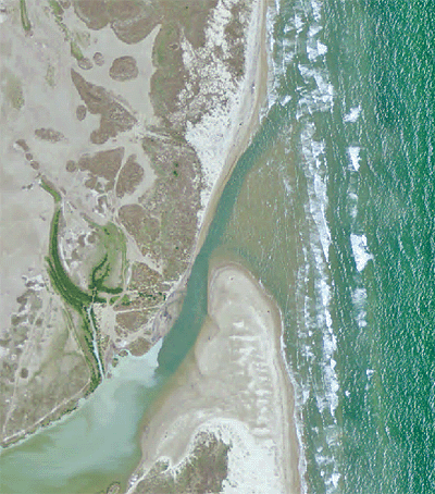
Geography is the study of the physical features of the Earth’s surface and the feature’s relative location. Geographic Information Systems (GIS) can be used to map the Earth’s surface and provide tools for managers. GIS based maps can provide us with a better understand of the dynamics between physical components like hydrology, sediments, climate and biology that make up a coastal environment and how it changes over time.